Precision
Engineering
Solutions
We specialize in advanced surveying, photogrammetry, and geotechnical investigations. Delivering accurate data that creates the foundation for successful infrastructure.
500+
Projects Completed
100%
Precision Rate
About Us
Dedicated to Quality and Precision
We empower our clients with reliable data for informed decision-making and successful project execution. Our team brings years of expertise in civil engineering and geospatial services.
Precision & Quality
Delivering top-tier geo surveying services with an unwavering focus on accuracy and detail.
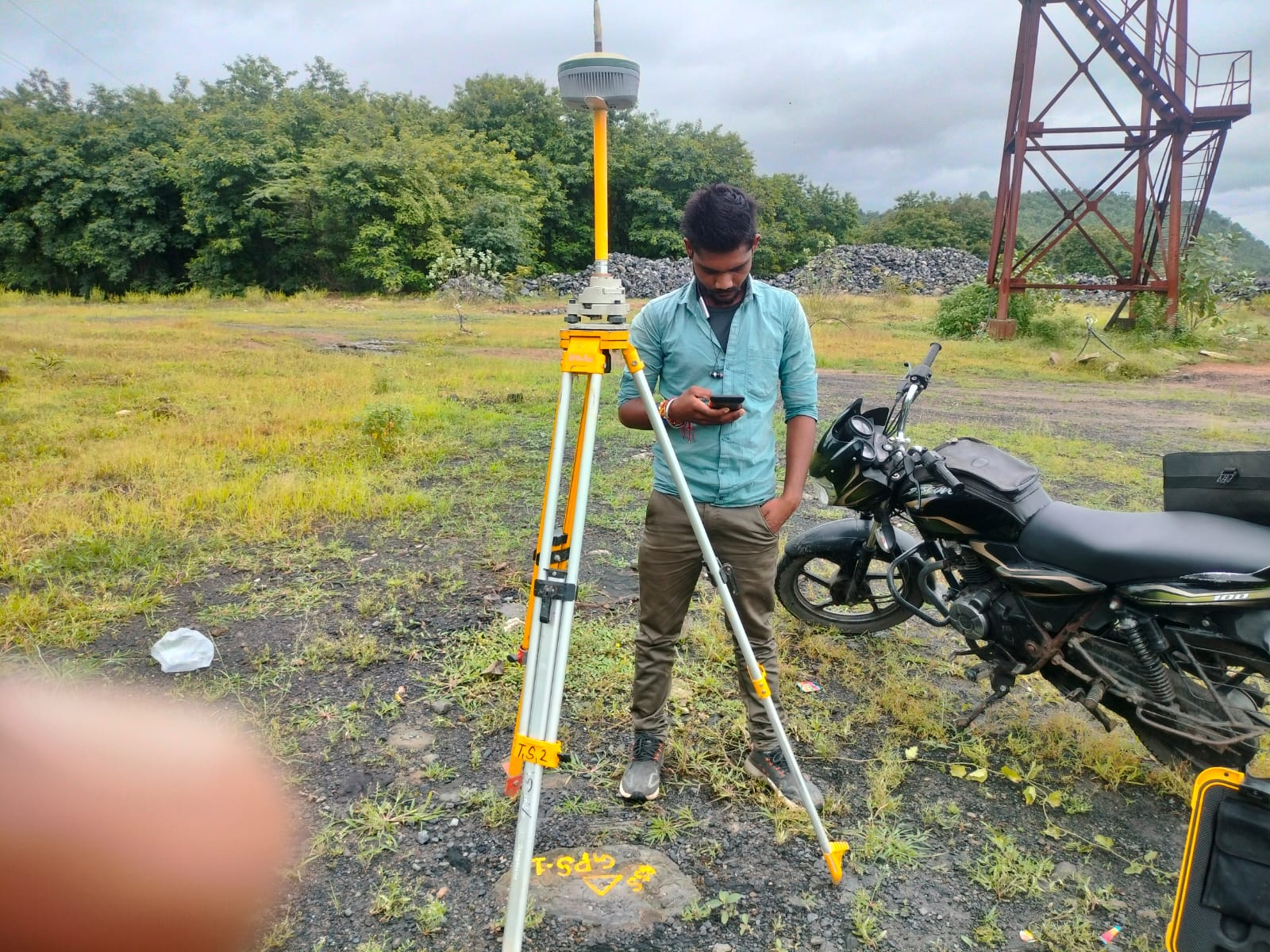
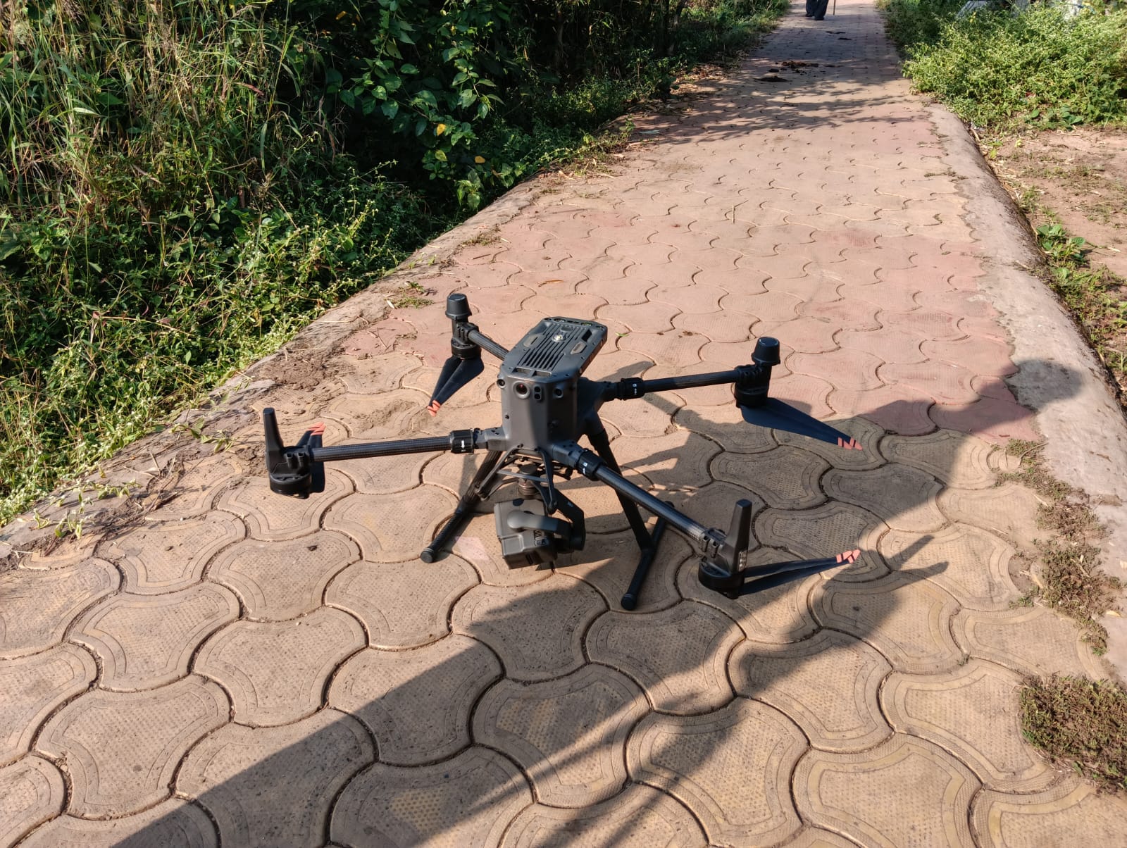
Advanced Technology
Utilizing state-of-the-art equipment and software including GPS, Total Stations, and Drones.
Expert Analysis
Comprehensive 3D modeling and data analysis to empower informed decision-making.
Years of Excellence
Delivering trusted solutions across the region.
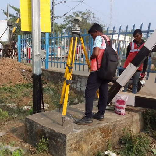
What We Offer
Comprehensive Surveying Solutions
High-precision services tailored to meet the unique needs of each infrastructure project.
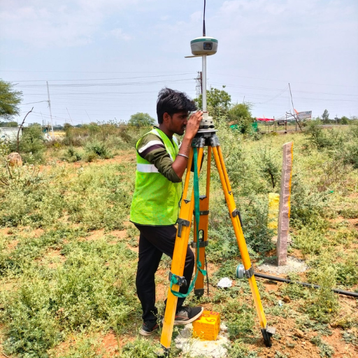
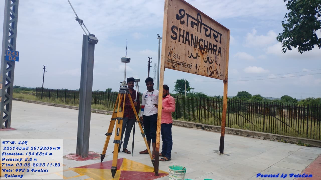
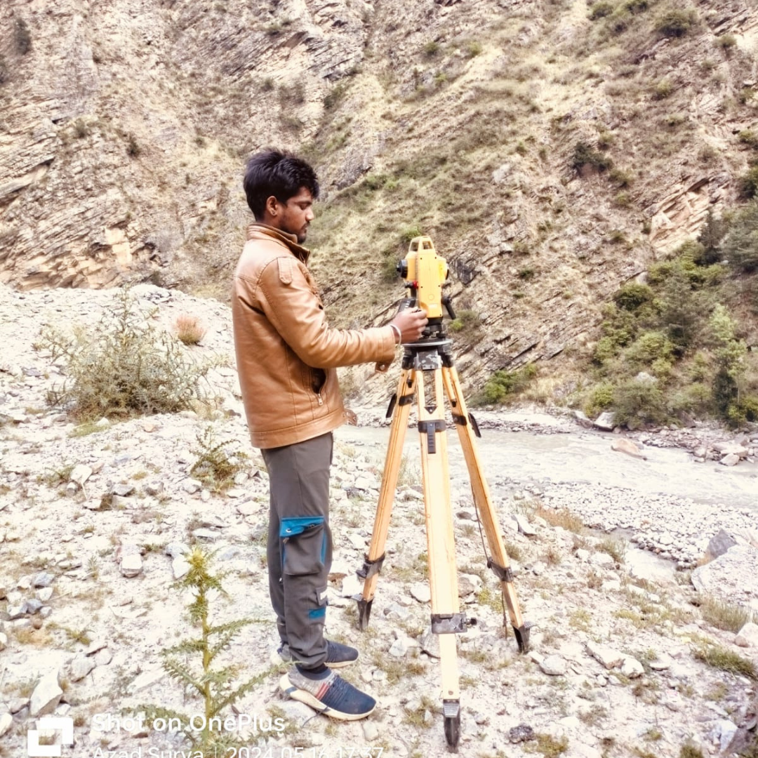
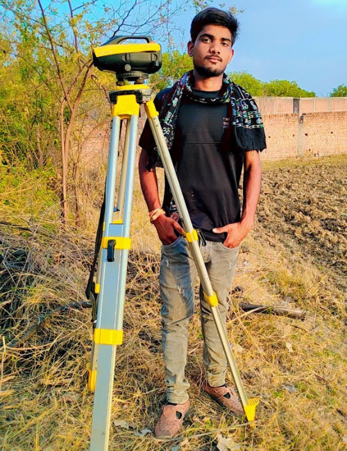
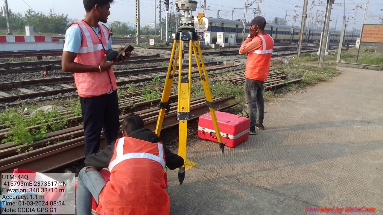
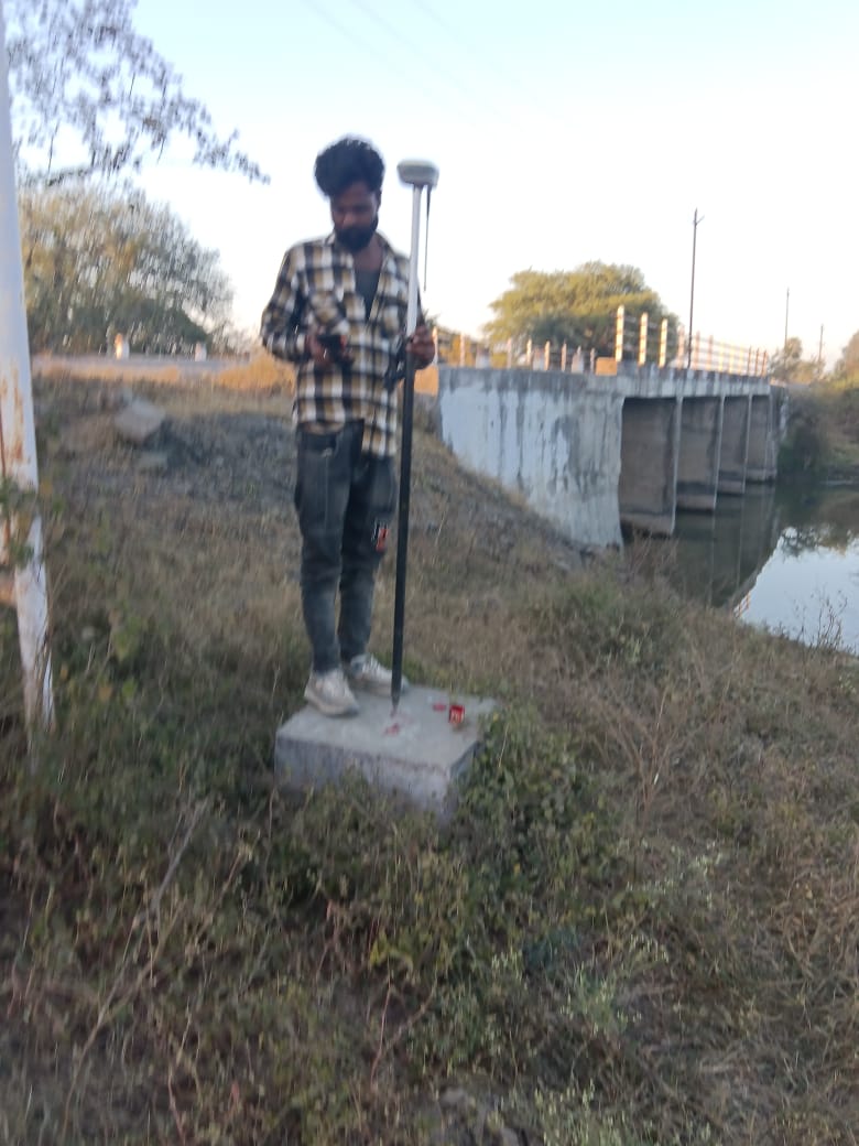
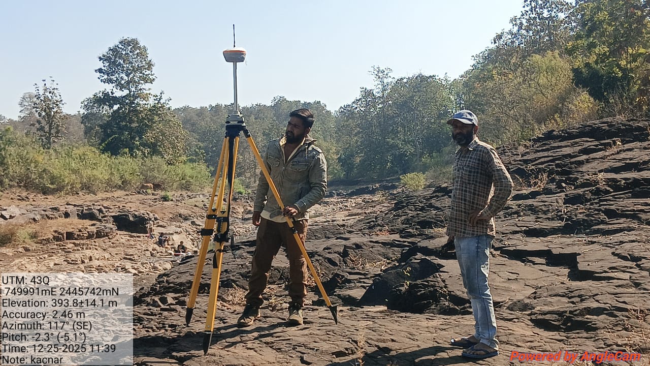
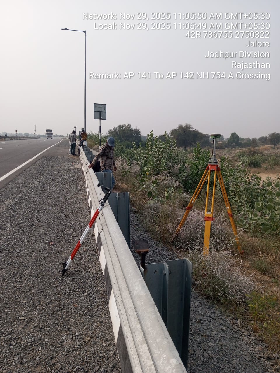
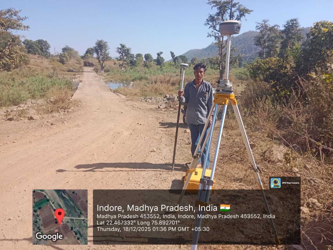
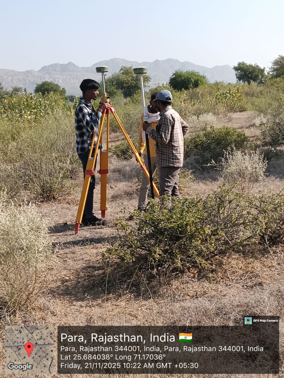
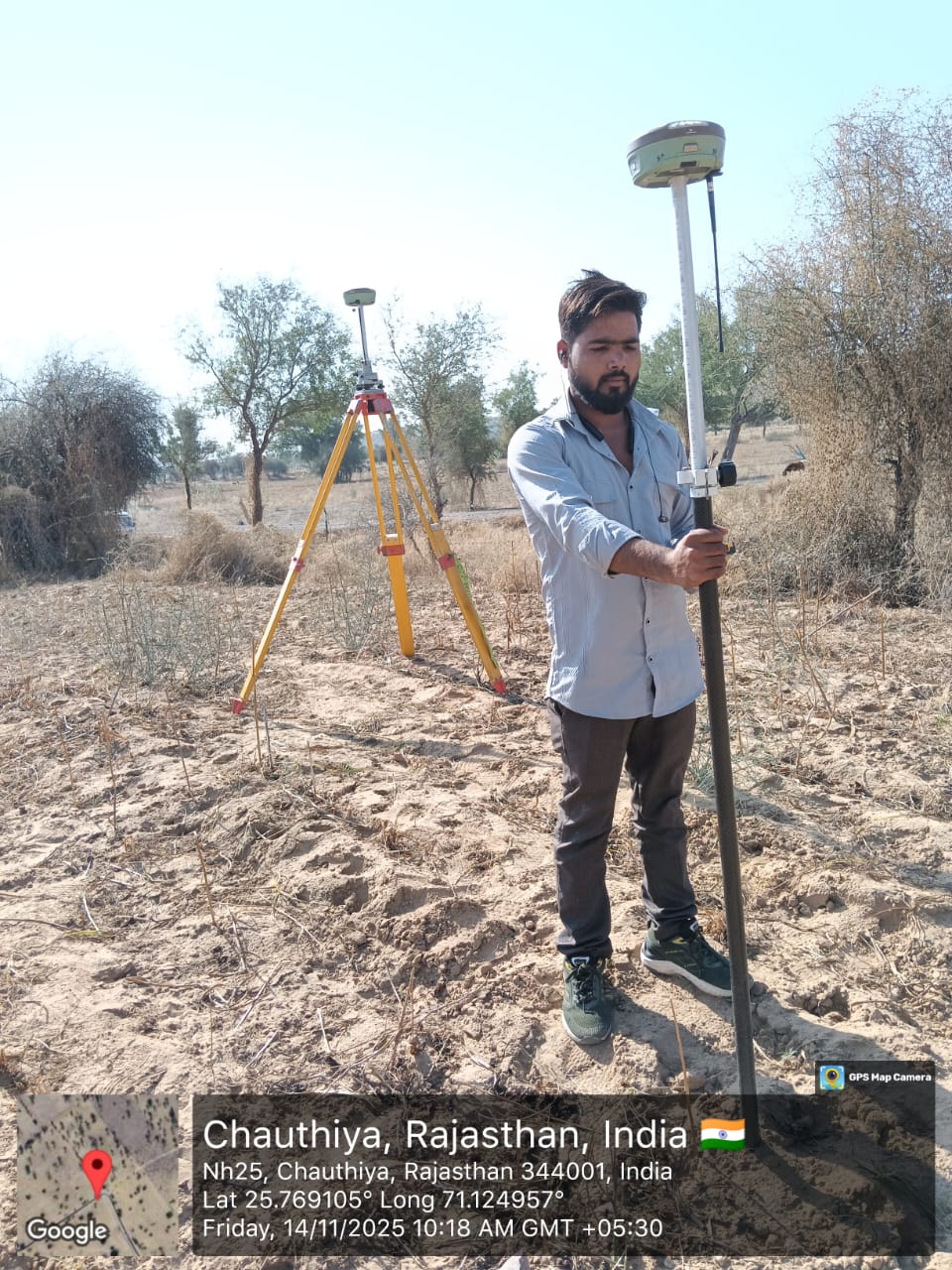
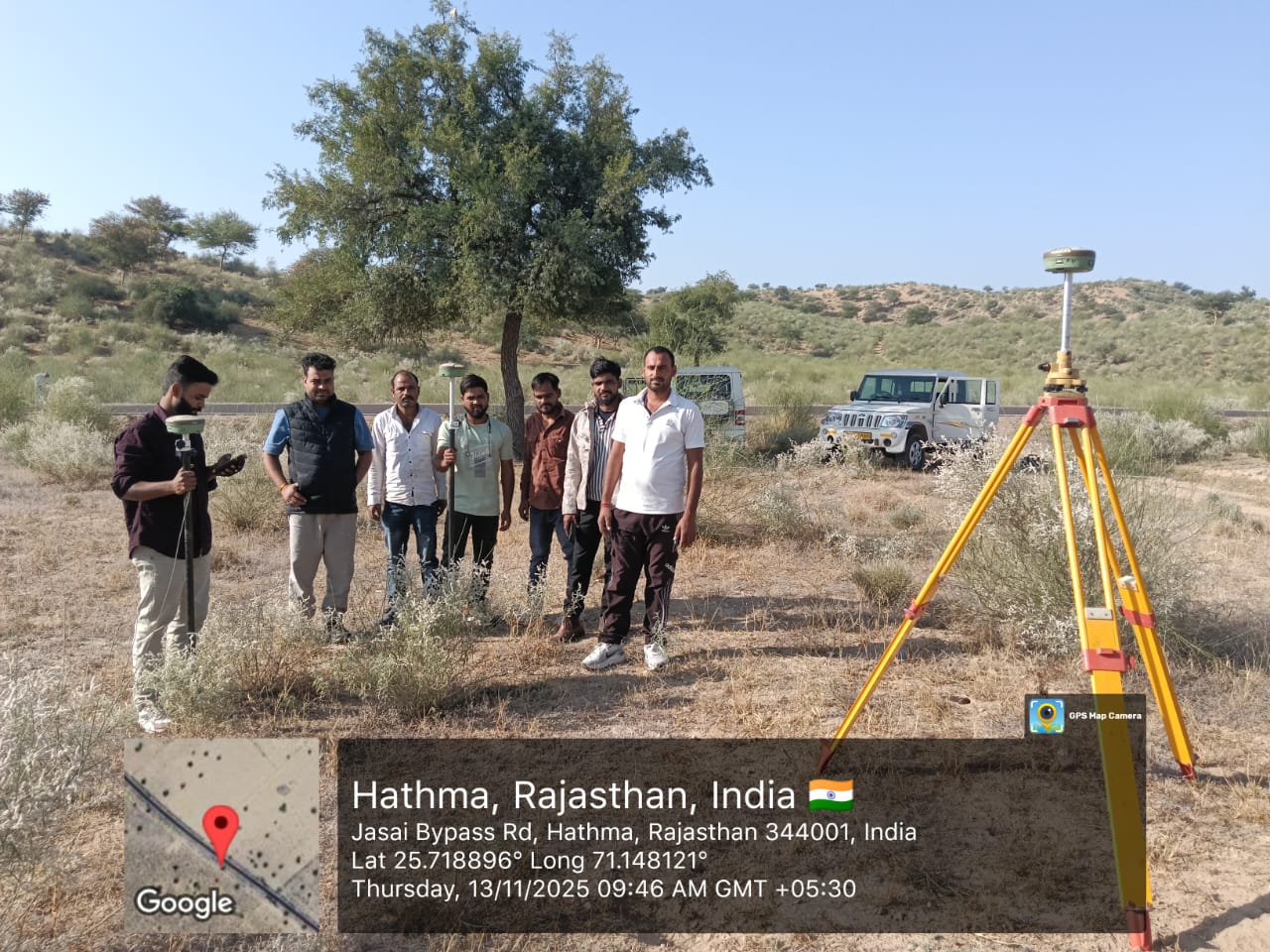
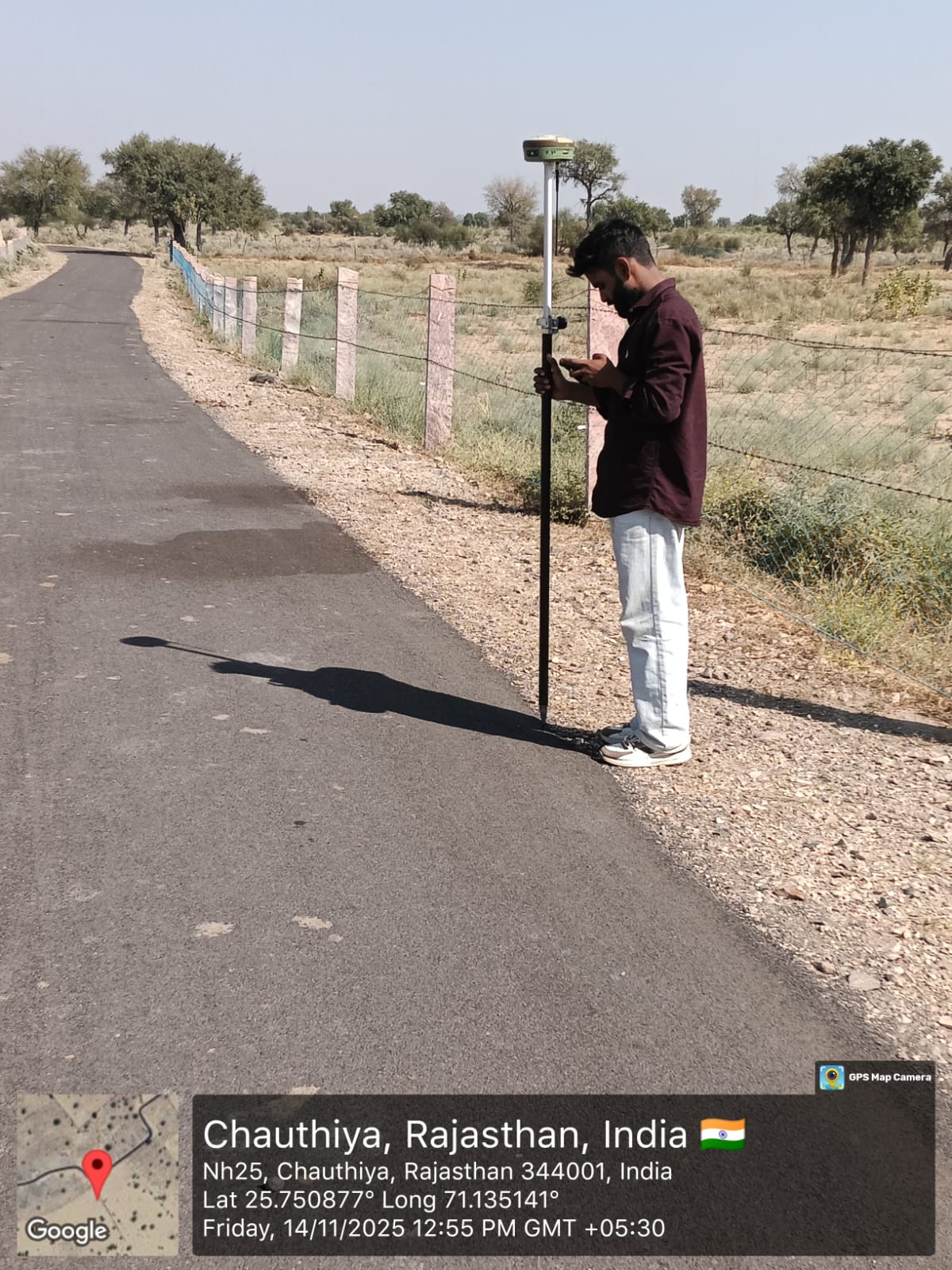
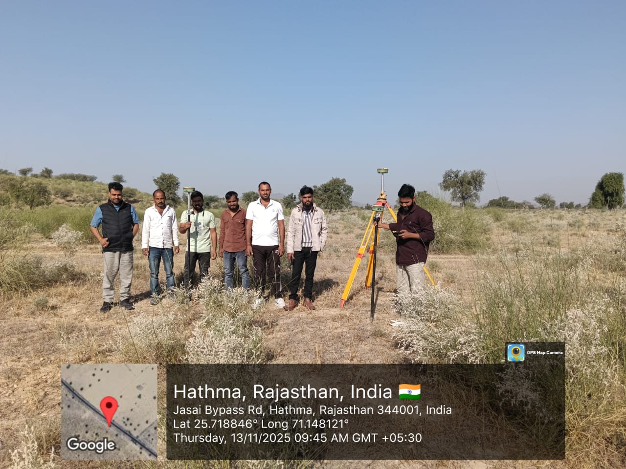
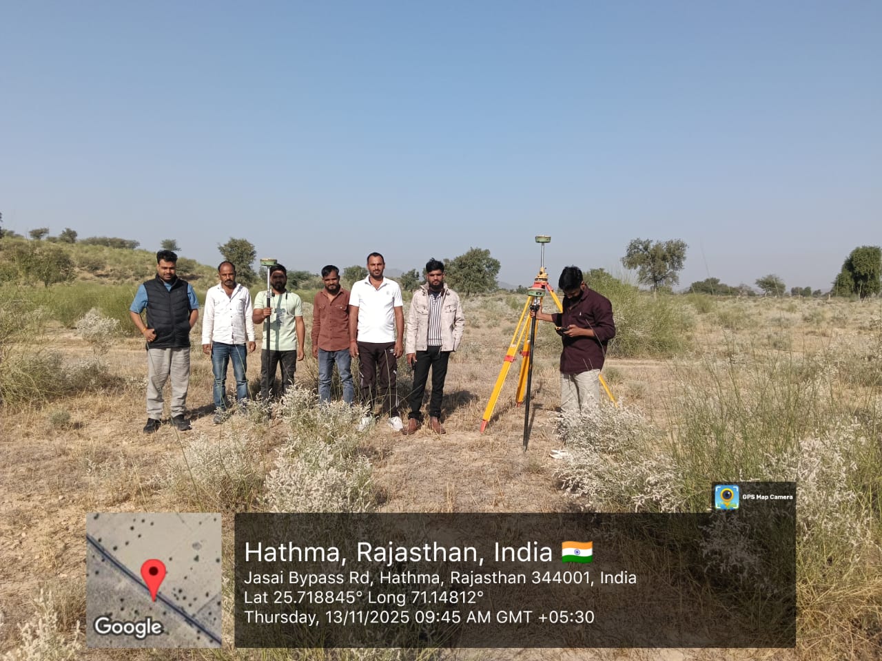
Detailed Surveying
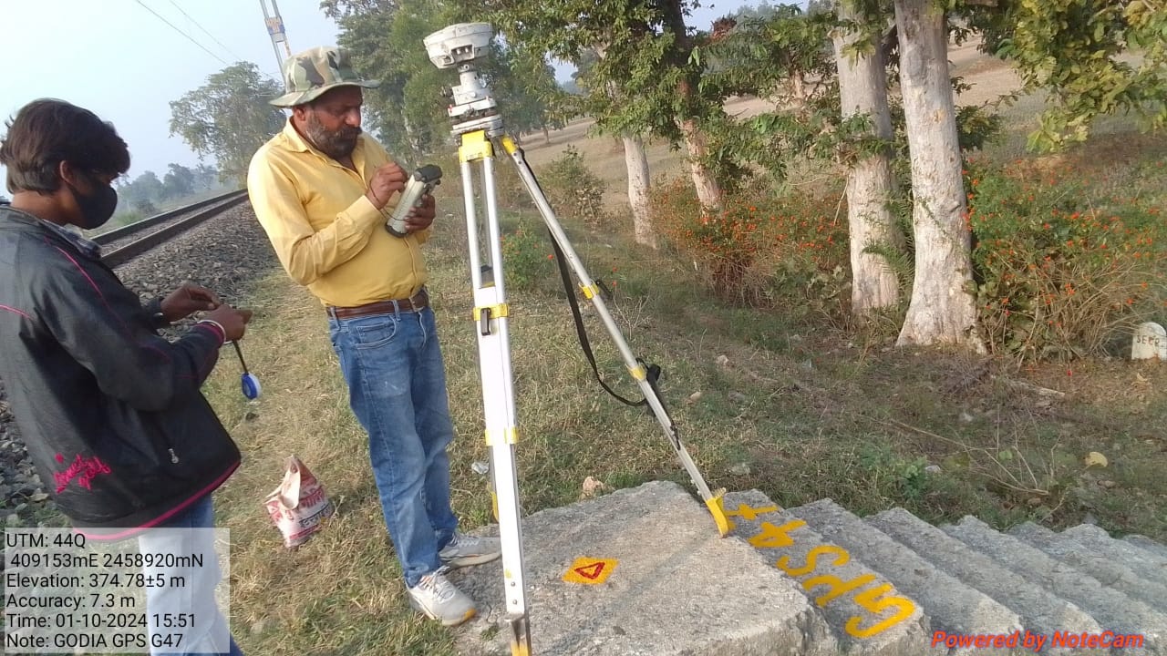
Precise GPS and TBM pillar fixing, ensuring accurate geospatial referencing for your large-scale projects.
Layout Survey
Precise centerline fixing tailored to ensure accurate alignment and positioning for construction integrity.
DPR Survey
Comprehensive services for Detailed Project Reports, including control point establishment and data analysis.
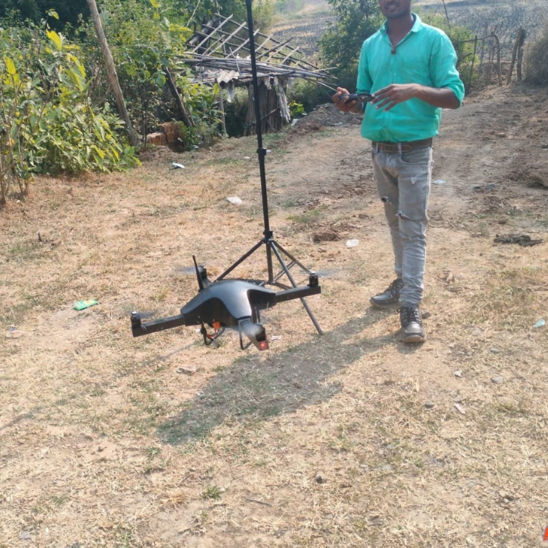
Photogrammetry
Cutting-edge technique for surveying. Capturing high-resolution imagery to create detailed 3D models.
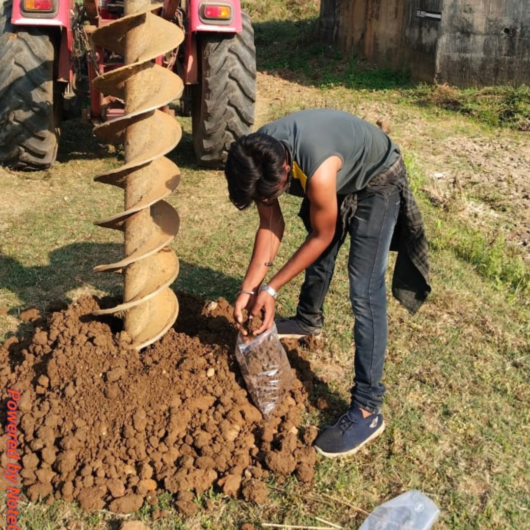
Soil Sample Collecting
Accurate and reliable soil data collection essential for project planning and environmental analysis.
More Than Just
Surveying
We offer comprehensive engineering solutions to complement your project needs. From soil analysis to expert consultation, we ensure your project stands on solid ground.
Specialized Services
Soil Testing
Analysis of soil composition for construction stability.
Material Testing
Quality assurance for construction materials.
Geotechnical Investigations
Subsurface exploration for foundation design.
Site Assessment
Evaluating environmental and physical site conditions.
Project Consultation
Expert advice on surveying and engineering challenges.
Our Gallery
Explore our portfolio of precision surveying and mapping projects across various industries.
City Planning Overview
Construction Site Monitoring
Agricultural Analysis
Road Network Mapping
Mining Operations
Solar Farm Inspection
Flood Risk Assessment
Heritage Site Scanning
Forest Vegetation Index
Pipeline Corridor Survey
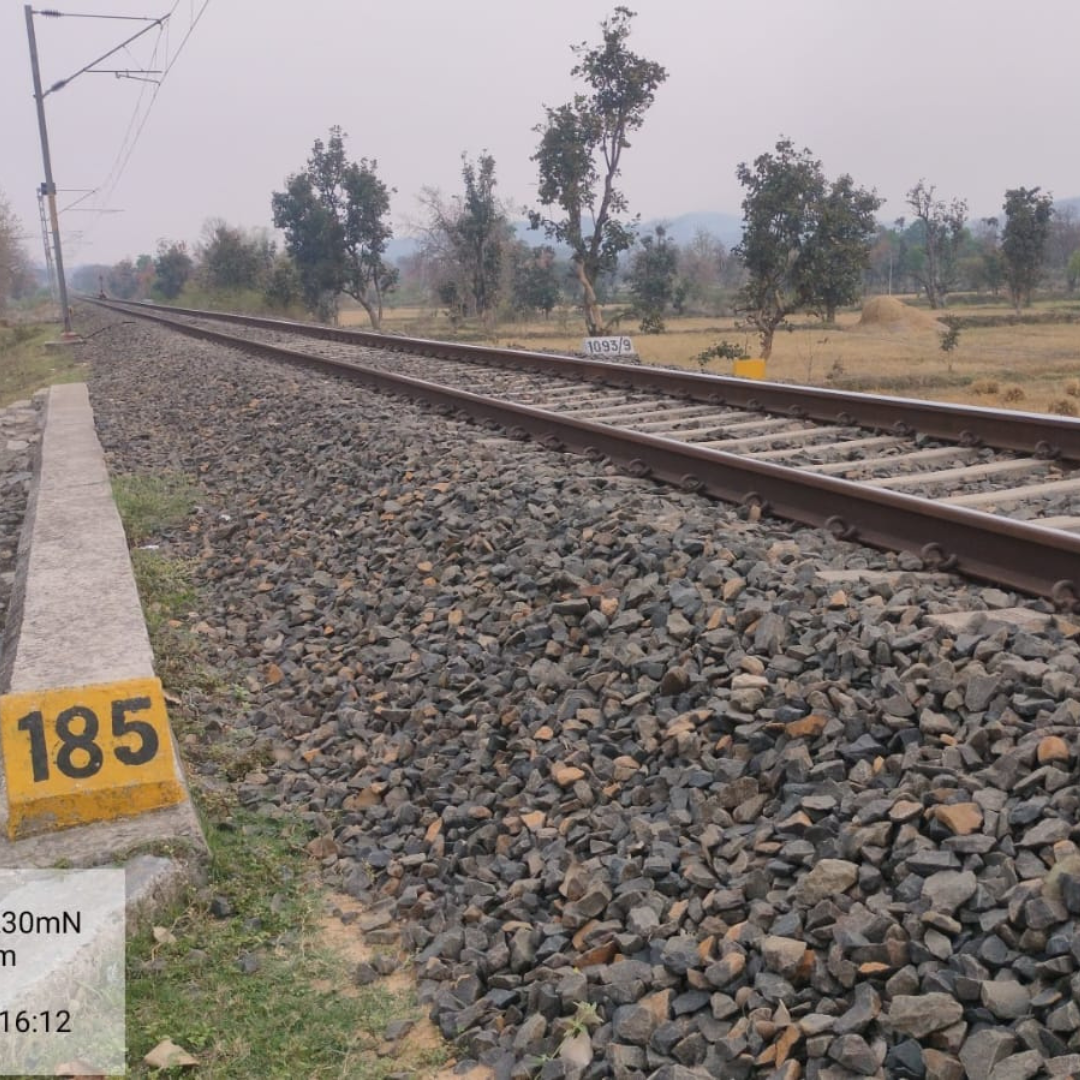
Railway Infrastructure
Coastal Zone Mapping
Bridge Inspection
Power Line Monitoring
Land Boundary Demarcation
Urban Heat Mapping
Quarry Volume Survey
Wind Farm Planning
Reservoir Capacity Survey
Smart City Infrastructure
Industrial Zone Analysis
Terrain Elevation Mapping
Get In Touch
Start Your Project
Ready to ensure precision for your next construction or environmental project? Our team is ready to assist you.
Contact Information
Our team is available to discuss your project needs and answer any questions you may have. Reach out to us via email, phone, or visit our office.
Our Location
123 Survey Lane, Geo City, Business District, 500001
Phone Number
+91 98765 43210 Mon-Sat, 9am - 6pm
Email Address
info@suryaglobal.com contact@suryaglobal.com